Surveying may be classified on the following basis:
(i) Nature of the survey field
(ii) Object of survey
(iii) Instruments used and
(iv) The methods employed.
11.4.1 Classification Based on Nature of Survey Field
On this basis survey may be classified as land survey, marine or hydraulic survey and astronomical survey. Land Survey. It involves measurement of various objects on land. This type of survey may be further classified as given below:
(a) Topographic Survey: It is meant for plotting natural features like rivers, lakes, forests and hills as well as man made features like roads, railways, towns, villages and canals.
(b) Cadestal Survey: It is for marking the boundaries of municipalities, villages, talukas, districts, states etc. The survey made to mark properties of individuals also come under this category.
(c) City Survey: The survey made in connection with the construction of streets, water supply and sewage lines fall under this category.
Marine or Hydrographic Survey. Survey conducted to find depth of water at various points in bodies of water like sea, river and lakes fall under this category. Finding depth of water at specified points is known as sounding.
Astronomical Survey. Observations made to heavenly bodies like sun, stars etc., to locate absolute positions of points on the earth and for the purpose of calculating local time is known as astronomical survey.
11.4.2 Classification Based on Object of Survey
On the basis of object of survey the classification can be as engineering survey, military survey, mines survey, geological survey and archeological survey.
(a) Engineering Survey: The objective of this type of survey is to collect data for designing civil engineering projects like roads, railways, irrigation, water supply and sewage disposals. These surveys are further sub-divided into:
Reconnaissance Survey for determining feasibility and estimation of the scheme.
Preliminary Survey for collecting more information to estimate the cost of the project, and Location Survey to set the work on the ground.
(b) Military Survey: This survey is meant for working out plans of strategic importance.
(c) Mines Survey: This is used for exploring mineral wealth.
(d) Geological Survey: This survey is for finding different strata in the earths crust.
(e) Archeological Survey: This survey is for unearthing relics of antiquity.
11.4.3 Classification Based on Instruments Used
Based on the instruments used, surveying may be classified as:
(i) Chain survey
(ii) Compass survey
(iii) Plane table survey
(iv) Theodolite survey
(v) Tacheometric survey
(vi) Modern survey using electronic distance meters and total station
(vii) Photographic and Aerial survey
The survey is taught to students mainly based on this classification.
11.4.4 Classification Based on Methods Employed
On this basis surveying is classified as triangulation and traversing.
(i) Triangulation: In this method control points are established through a network of triangles.
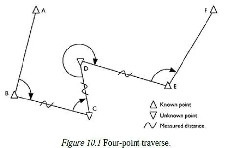
(ii) Traversing: In this scheme of establishing control points consists of a series of connected points established through linear and angular measurements. If the last line meets the starting point it is called as closed traverse. If it does not meet, it is known as open traverse [Ref. Fig. 11.5].

it is nice information
very good and helpful
The notes are systematically arranged and good for students in the class
it is good information really and helpful
its really helpfulllllll…….
the lesson it was good
ok
Nice answer
easy to understand
222222222222222222